What is Robotic Imaging?
We are a digital twin creation and maintenance system for the built environment. Robotic Imaging connects and analyzes real world assets with BIM, 3D scanning, VR imaging and drones across the building industry. Our digital strategy is tailored for Corporations, Architects, Engineers, General Contractors, Owners and Sub-Contractors looking to accelerate projects remotely and at scale.
How much does Robotic Imaging cost?
The more accurate to reality, the more time and cost. We collect LiDAR and colorized rgb values with details custom to project goals.
Where and When is Robotic Imaging available?
Anywhere, 24/7! Using our free scheduling app, you choose when and where you need us.
What if I can’t order Robotic Imaging in my country or region?
We are able to service every region and most countries. If you have a special project like this. Reach out here.
Does Robotic Imaging store my Personal Information?
Our Privacy Policy contains details about how we collect, use, and share Personal Information that we obtain from and about you when you interact with us on our website, via our mobile app, via email, and through other online and offline interactions. Our Privacy Notice is here. Reach out to us at info@roboticimaging.com if you have questions or concerns.
Where can I write a Robotic Imaging review?
If you’d like to let us know how we’re doing, write a review on your app store on Google Play or Apple App Store. We love to hear feedback from our customers. Are you a brand interested in working with Robotic Imaging? Reach out here.
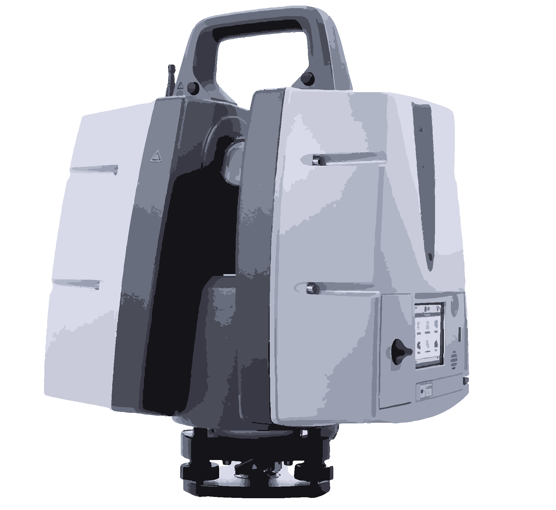
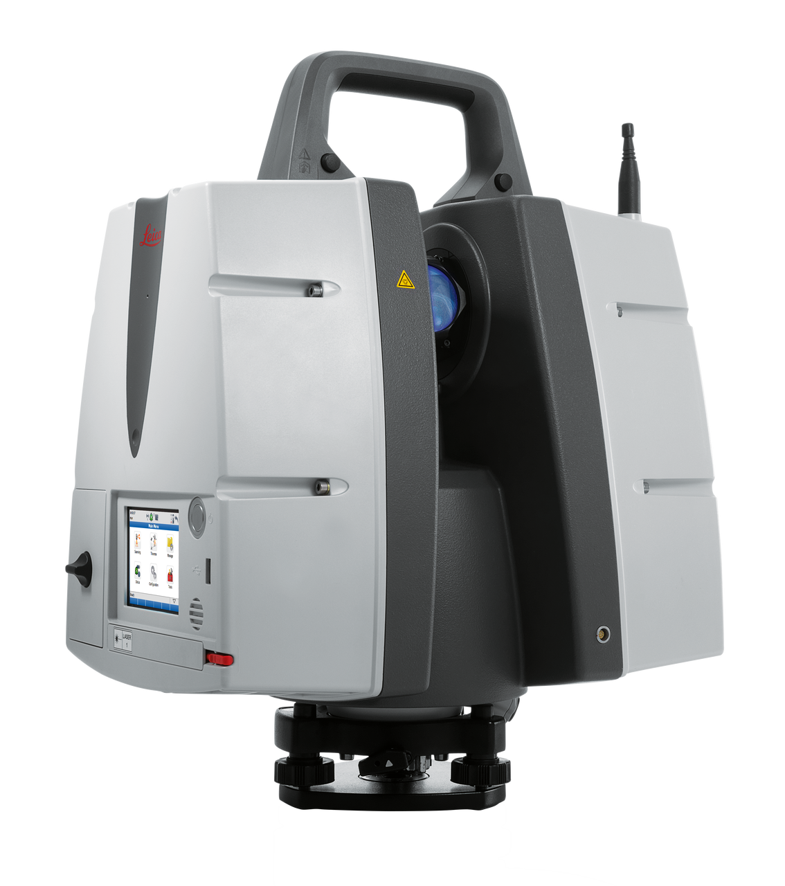
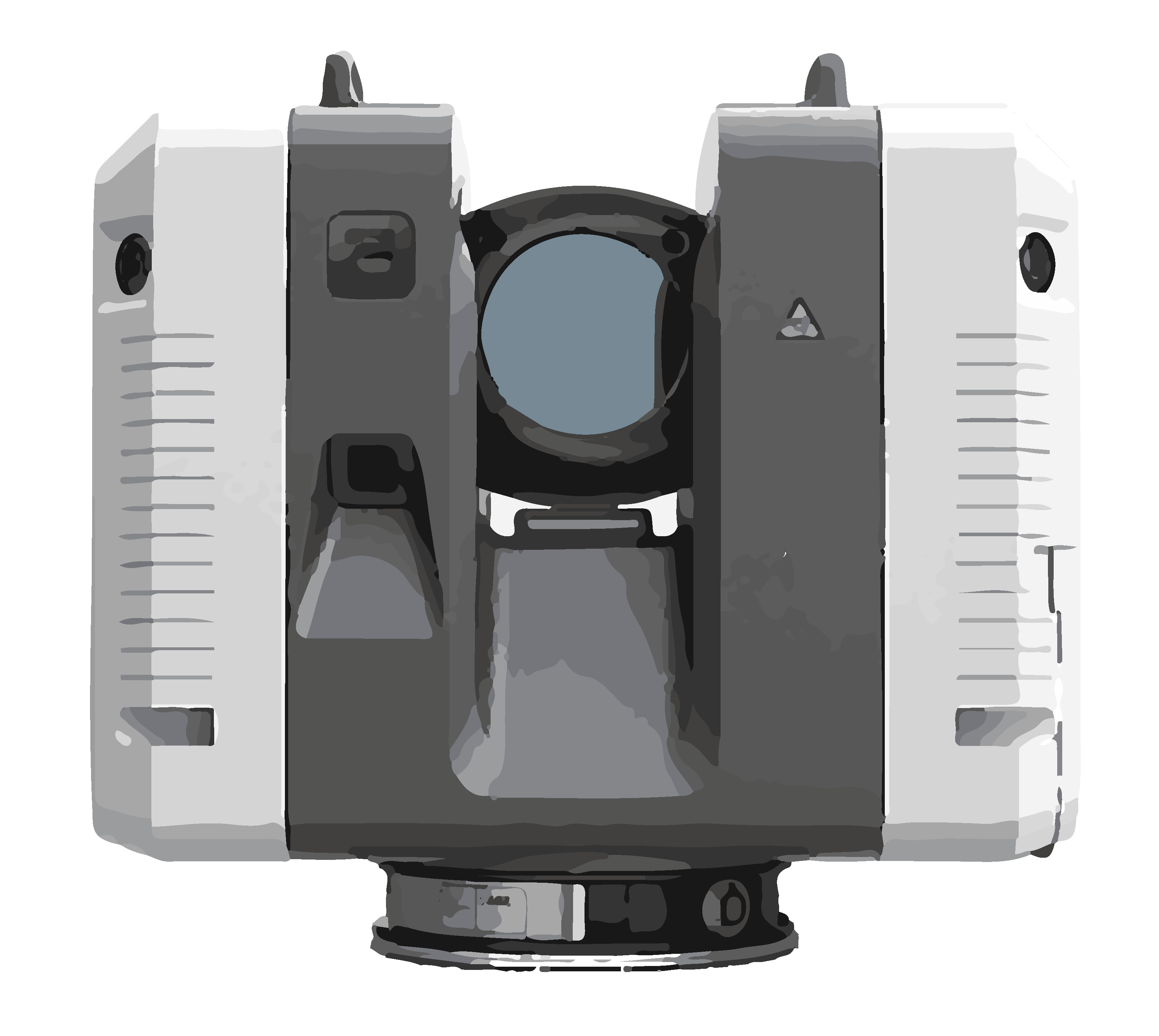
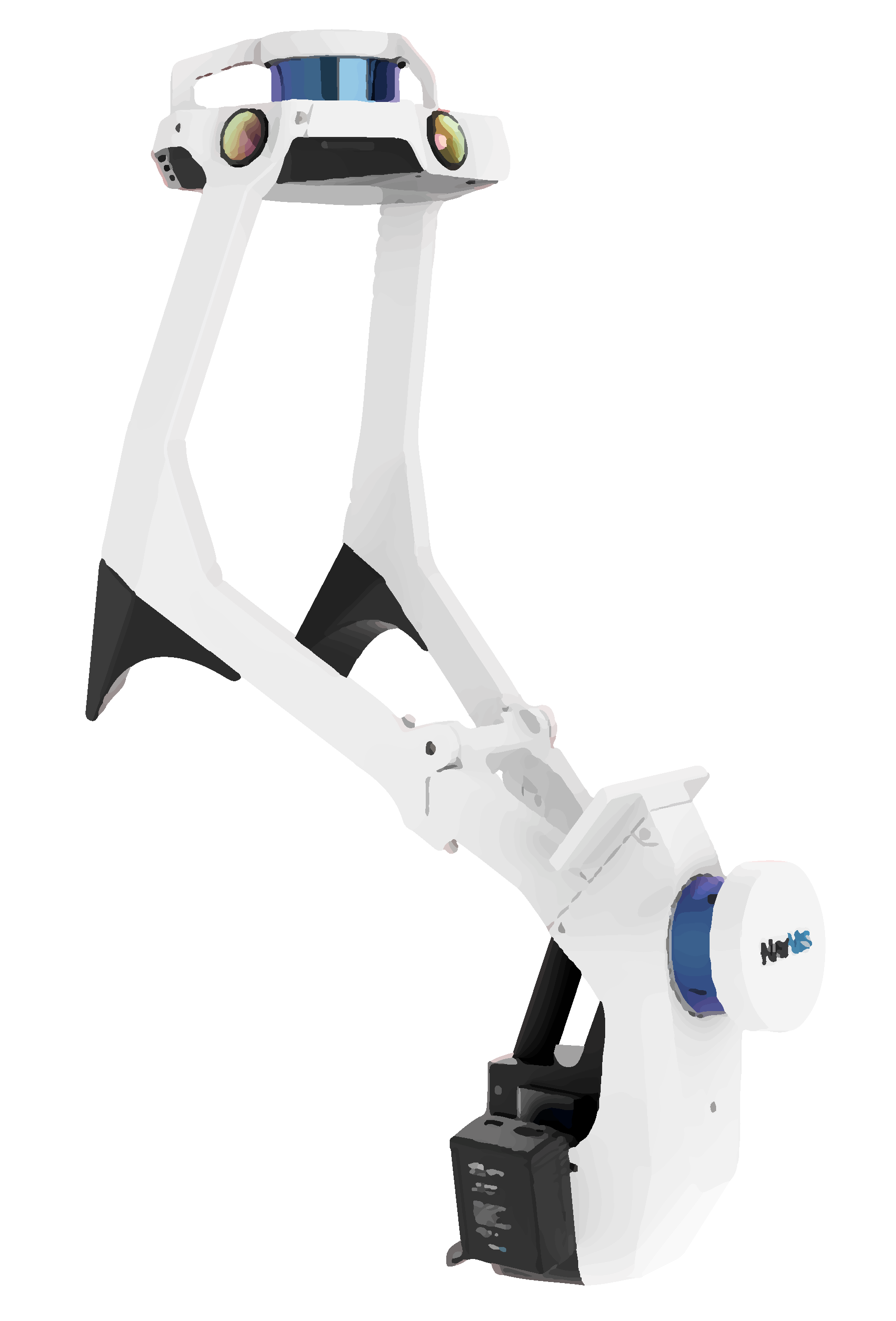
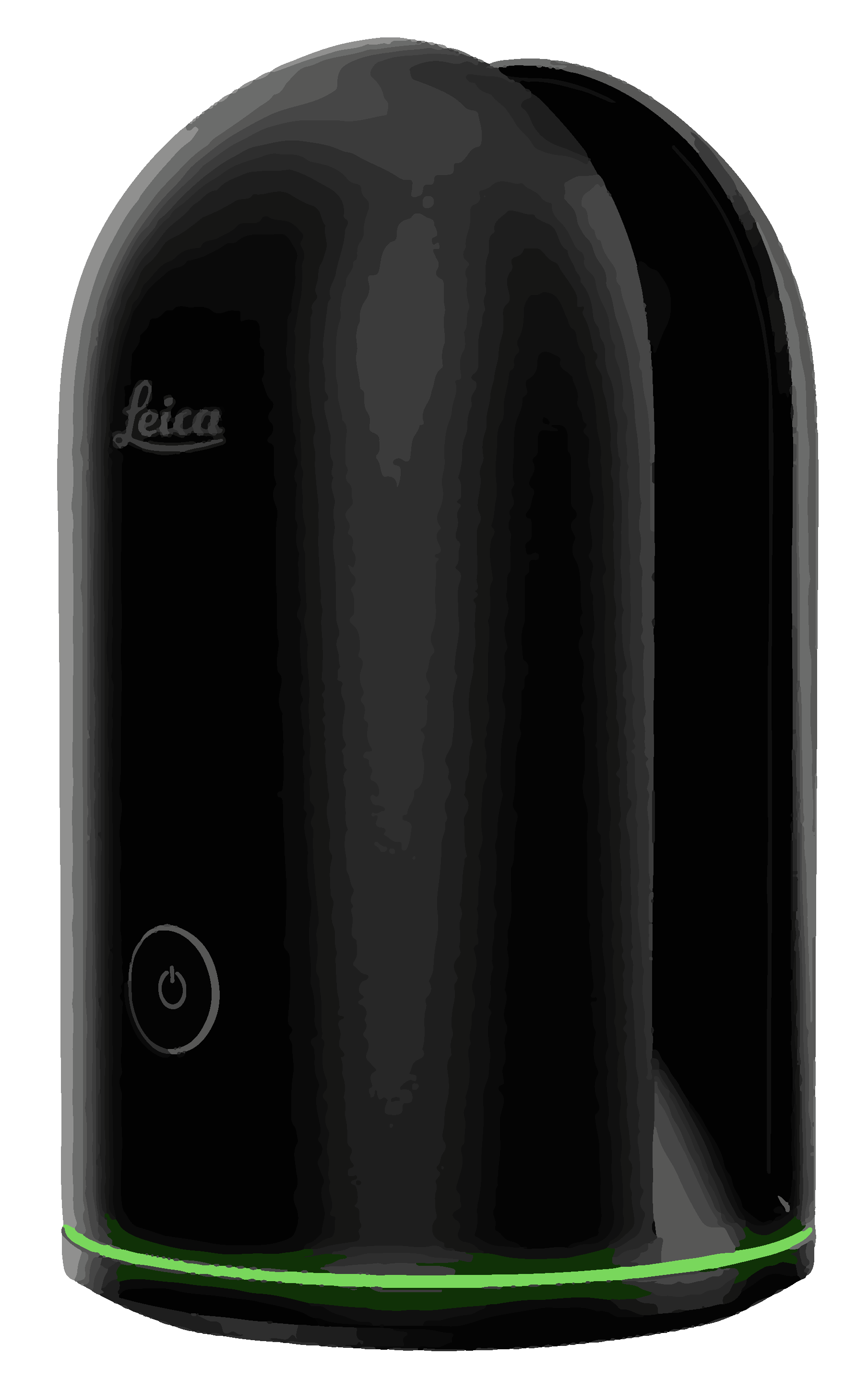
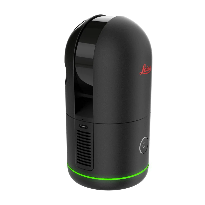
What Types of Laser Scanners Does Robotic Imaging Deploy?

Download & Run LGS Point Cloud Viewer
Download & Run Jet Stream Viewer
Using Jet Stream Viewer
RTC360 Colorized Point Cloud
Level of Detail Explanation
Design Software Compatibility
If you do not see an answer to your question here, please reach out: +1-215-402-7054, info@roboticimaging.com, or you can quickly submit info to our team here.